
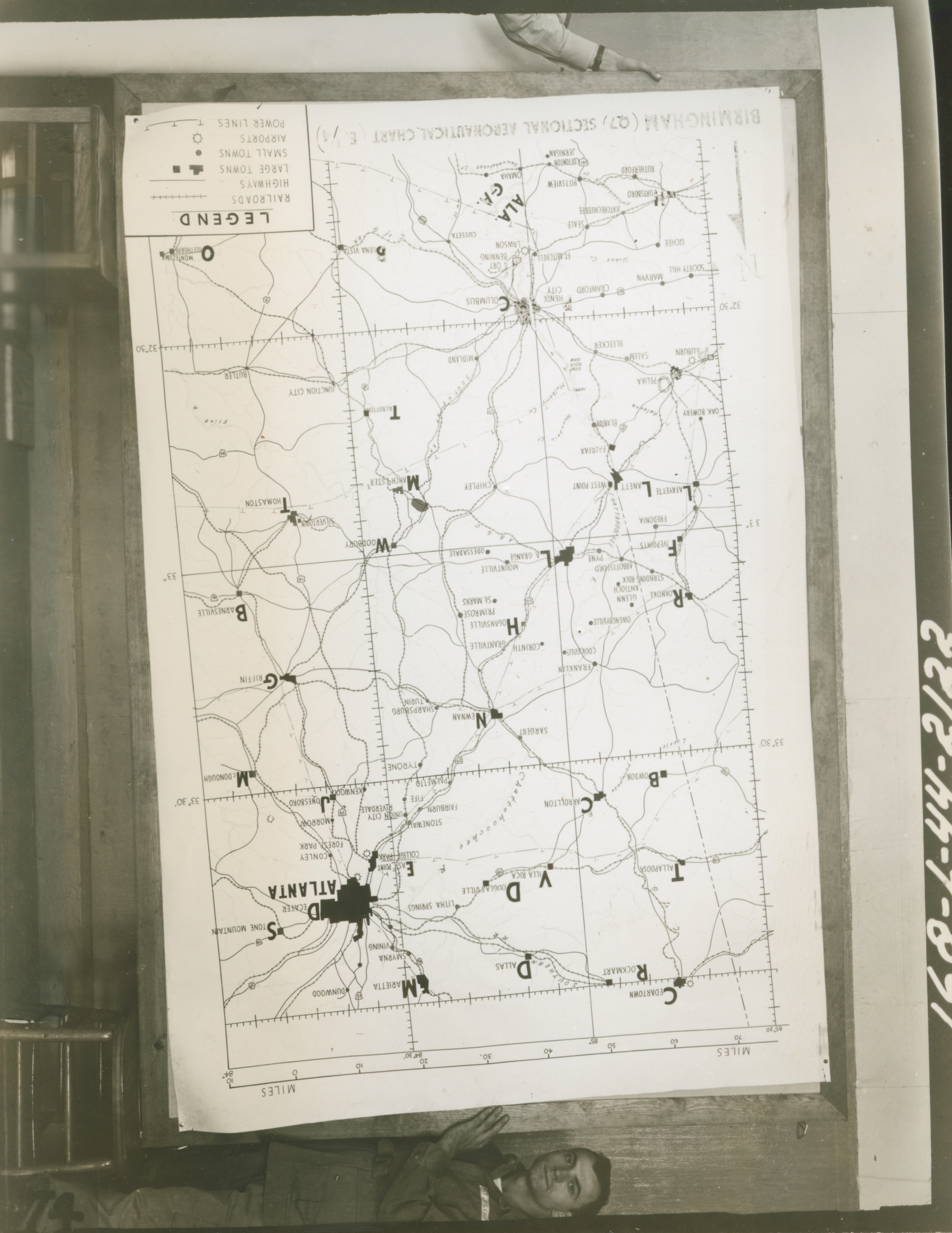
Sectional Aeronautical Chart of Birmingham and Atlanta Georgia and outlying areas, likely at Fort Benning Georgia in 1944
U.S. Army Signal Corps photograph, Gift in Memory of Maurice T. White, from the Collection of The National World War II Museum
Description:
1569. '168-L-44-2122.' Men hold up sign: Sectional Aeronautical Chart of Birmingham and Atlanta Georgia and outlying areas. Army Signal Corps photograph Likely Fort Benning Georgia. 1944
Image Information
Donor:
Accession Number:
Date:
Hometown:
Branch:
Theater of Service:
POW / KIA:
Topical Subjects:
Collection Level:
From the collection of Maurice T. White, Captain in the 168th Signal Photographic Company, US Army Signal Corps. The collection consists of 2,000+ images of training exercises, predominantly documenting the 81st Infantry Division in the United States in 1944
Geography:
Fort Benning
Latitude:
32.350
Longitude:
-84.967
Thesaurus for Graphic Materials:
Aeronautics--Georgia
Military education--Georgia