Aerial view of Iwo Jima in February 1945
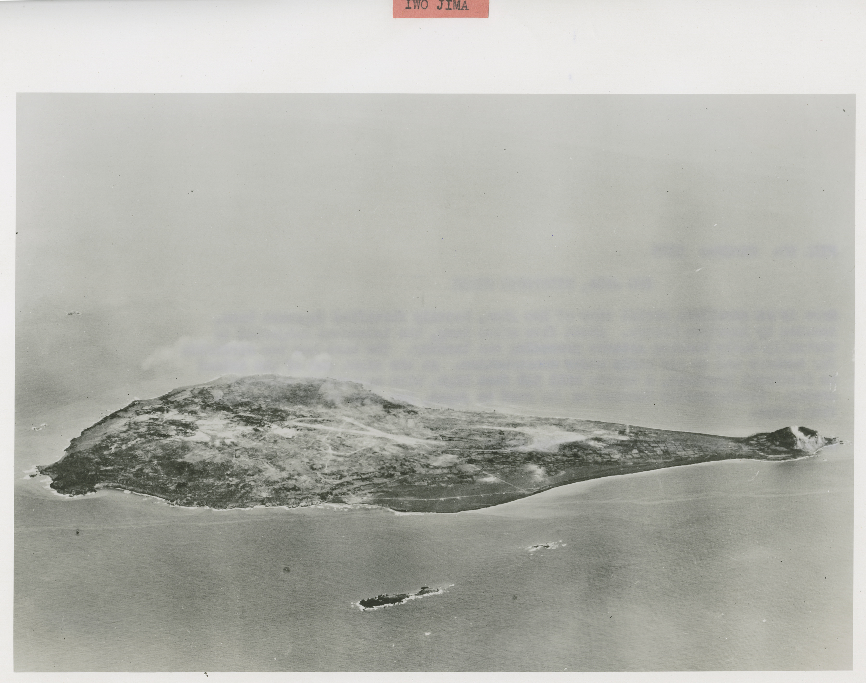
U.S. Navy Official photograph, Gift of Charles Ives, from the Collection of The National World War II Museum
Description: 

515.Photograph. 'File No: 5323 Iwo Jima, strategic prize Here is an excellent aerial view of Iwo Jima, heavily fortified Japanese base, invaded by American forces. About five miles long, the island was subjected to virtually daily bombing attacks preceding the landing. The base has two airfields for bombers and an air strip under construction. At the right end of the island is Suribachi Mountain, a barren hill 546 feet high, with an extinct volcanic crater. Strategically located on the road to Japan, Iwo Jima is 761 air miles from Tokyo.' February 1945

Image Information

Donor: 
Accession Number: 
Date: 
Location: 
Hometown: 
Branch: 
Unit: 
Campaign / Event: 
POW / KIA: 
Collection Level: 
The Charles Ives Collection consists of 719 photographs from the Pacific Theater of WWII. Many of the photographs were taken between 1944 and 1945. Mr. Ives inherited the photographs from a friend from Marblehead, Massachusetts who served as an aviator in the Army Air Corps and discharged as a Major in 1945.
Geography: 
Iō-jima
Latitude: 
24.783
Longitude: 
141.333
Thesaurus for Graphic Materials: 
Aerial views--Iwo Jima
Coastlines--Iwo Jima