
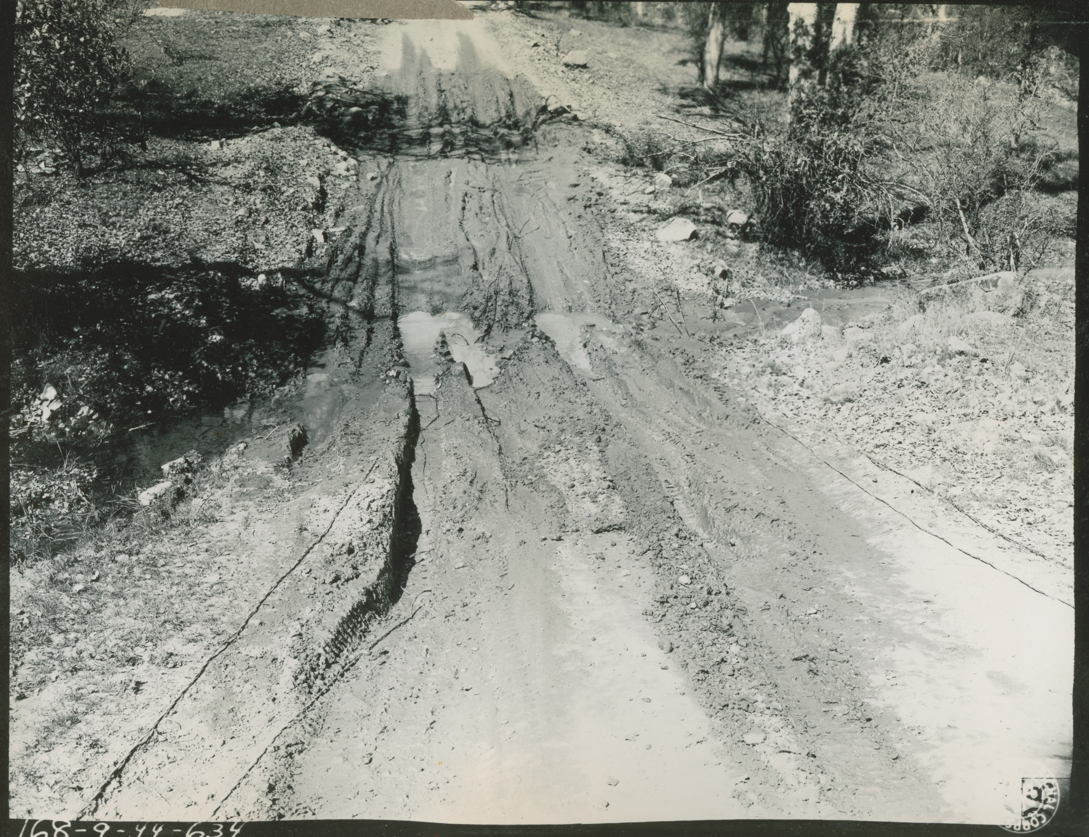
A communication line laid across the San Miguel trail at Hunter Liggett Military Reservation on 24 March 1944
U.S. Army Signal Corps photograph, Gift in Memory of Maurice T. White, from the Collection of The National World War II Museum
Description:
1884. '3-24-44. Ecklund. This view shows a W110B communication line laid across the San Miguel trail S.E. of Hill 3160 Grid lines 964.2 1448.0 The trail is used a great deal by ton trucks of the 354 Inf Regt. HLMR MTN Man. R 168-9-44-634.' Army Signal Corps photograph Photographer: Ecklund. 24 March 1944
Image Information
Donor:
Accession Number:
Date:
Hometown:
Branch:
Theater of Service:
POW / KIA:
Collection Level:
From the collection of Maurice T. White, Captain in the 168th Signal Photographic Company, US Army Signal Corps. The collection consists of 2,000+ images of training exercises, predominantly documenting the 81st Infantry Division in the United States in 1944
Geography:
Fort Hunter Liggett
Latitude:
35.917
Longitude:
121.250
Thesaurus for Graphic Materials:
Roads--California
Soldiers--American--California
Communication devices--California