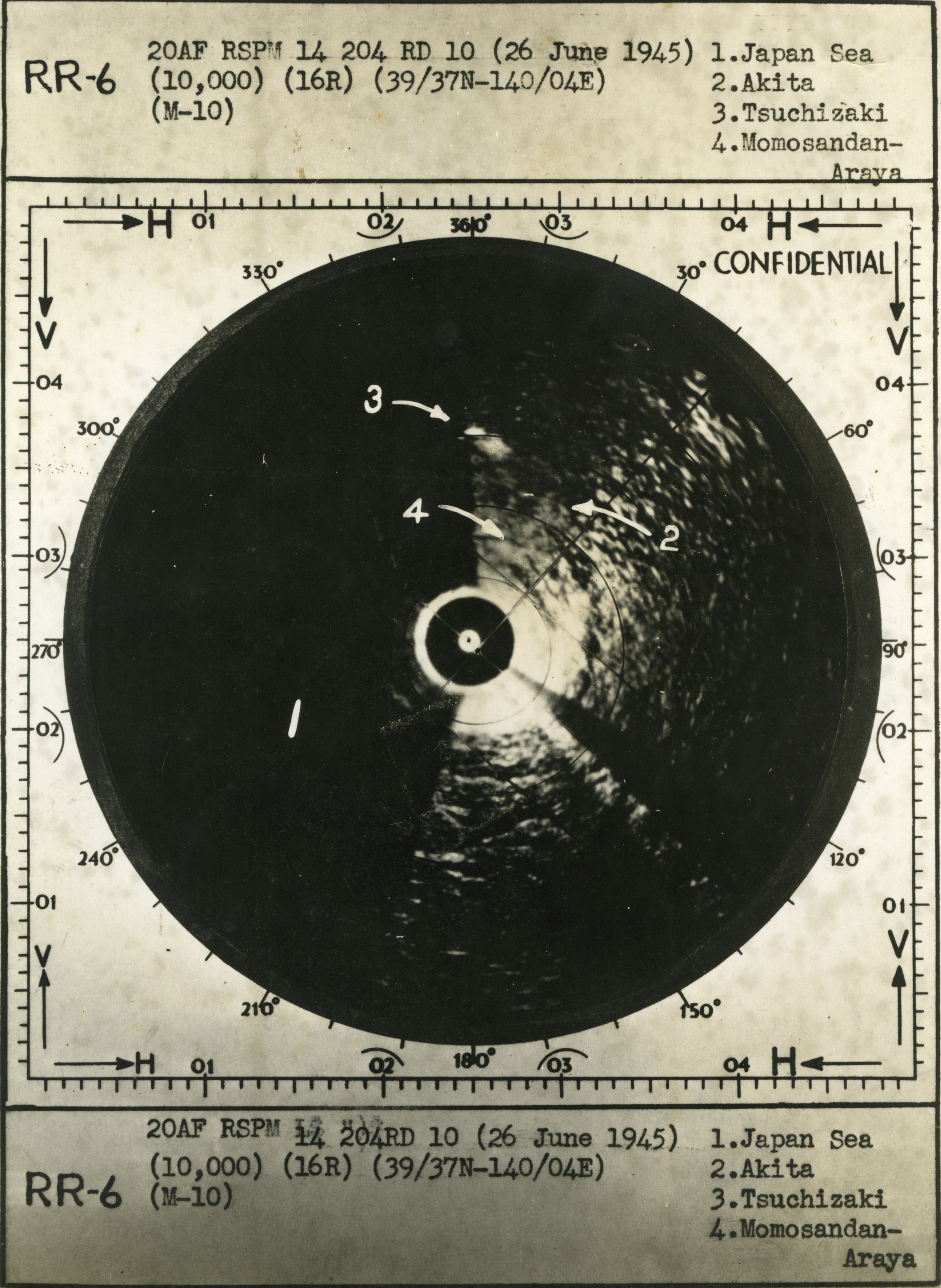
American radar image of Japanese islands, 26 June 1945

Gift In Memory "Ham" Hamilton, from the Collection of The National WWII Museum
Description:
American radar map of Japanese islands. "RR-6 20AF RSPM 14 204 RD 10 (26 June 1945). 1. Japan Sea 2. Akita 3. Tsuchizaki 4. Momosandan-Araya." Japan. 26 June 1945
Image Information
Donor:
Accession Number:
Date:
Hometown:
Branch:
Theater of Service:
Unit:
POW / KIA:
Topical Subjects:
Collection Level:
Photographs taken during the service of Ladelle A. Hamilton in the USAAF in the PTO in WWII.
Geography:
Nihon
Latitude:
36.000
Longitude:
138.000
Thesaurus for Graphic Materials:
Radar--Japan

