Advanced Search
-
Aerial view of Japanese coastline in late 1945
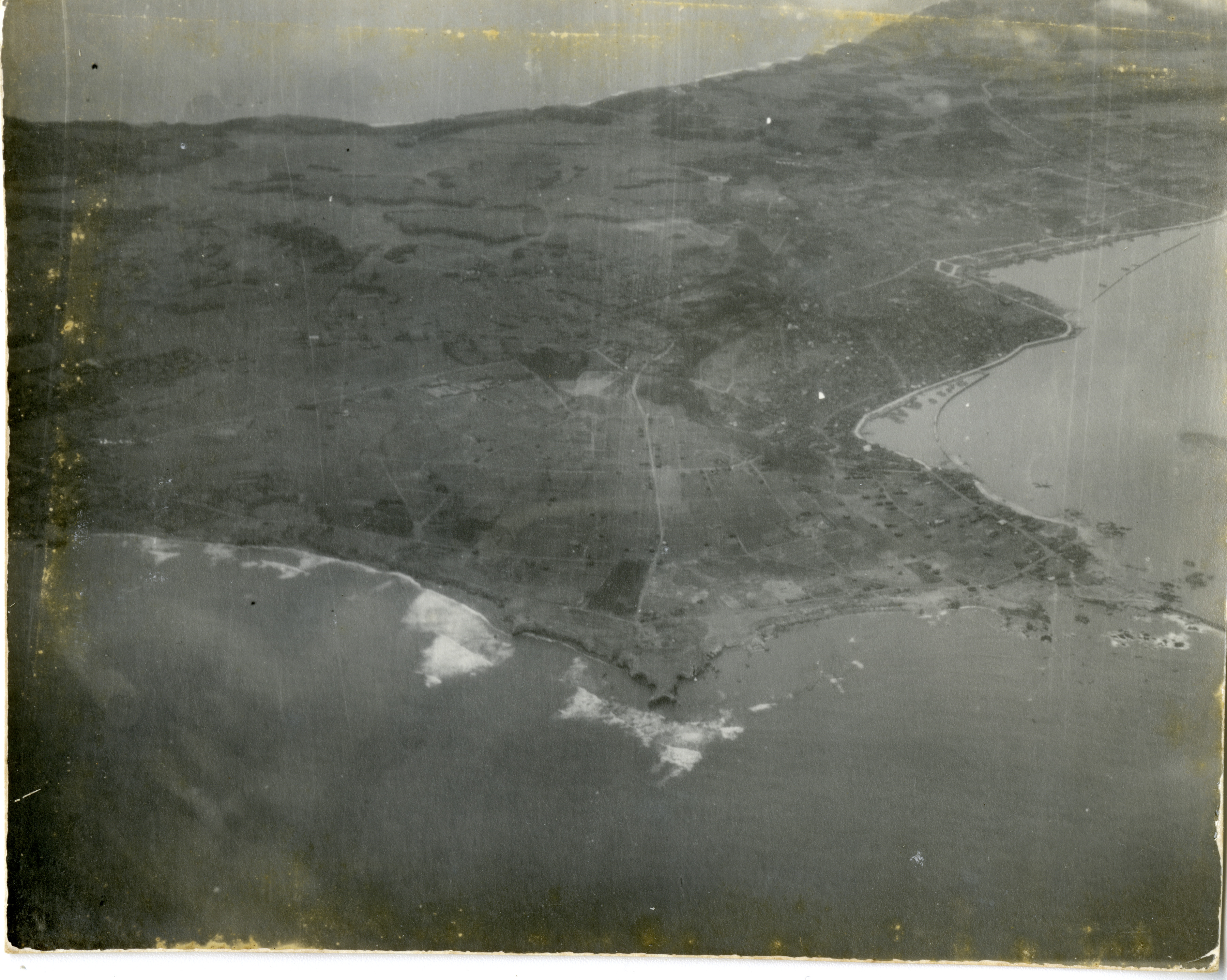
Aerial view of Japanese undentified coastline. "Japanese coast." Late 1945
-
Aerial view of Japanese coastline in late 1945
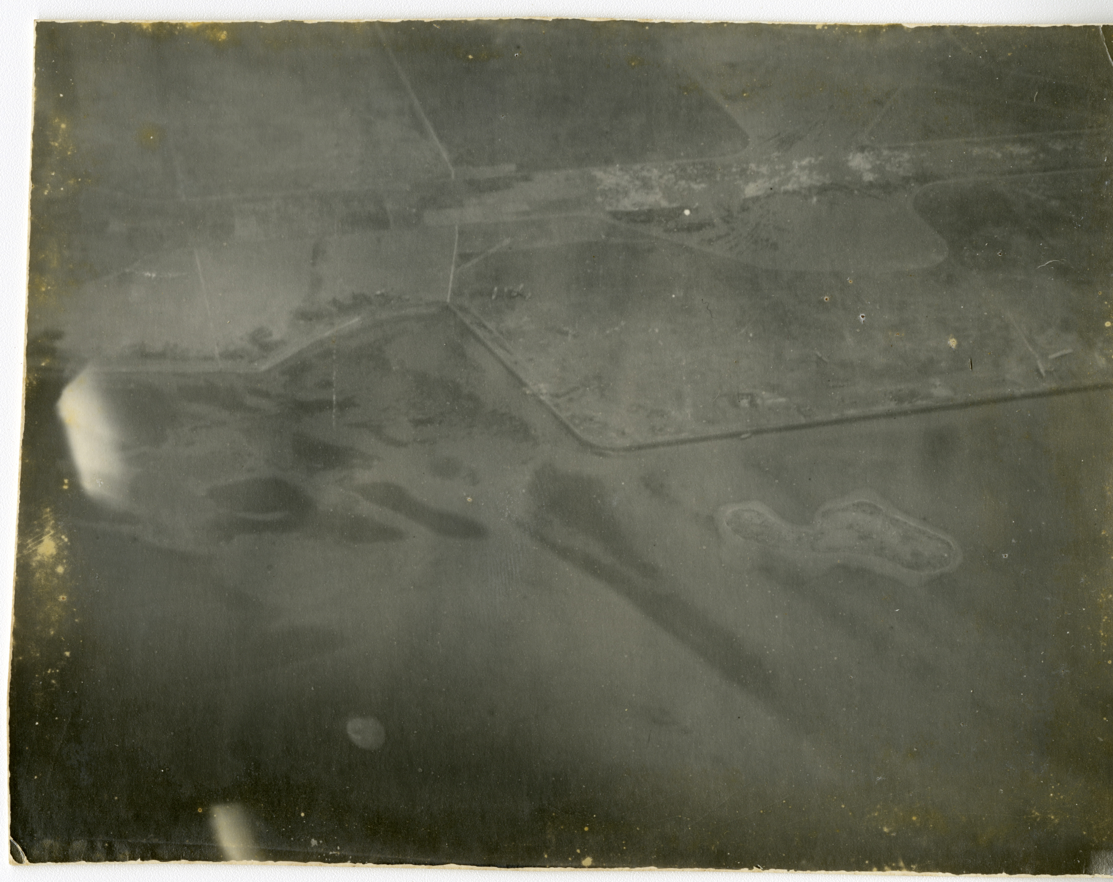
Aerial view of Japanese coastline and undentified town. "Japanese homeland." Late 1945
-
Aerial view of Japanese coastline in late 1945
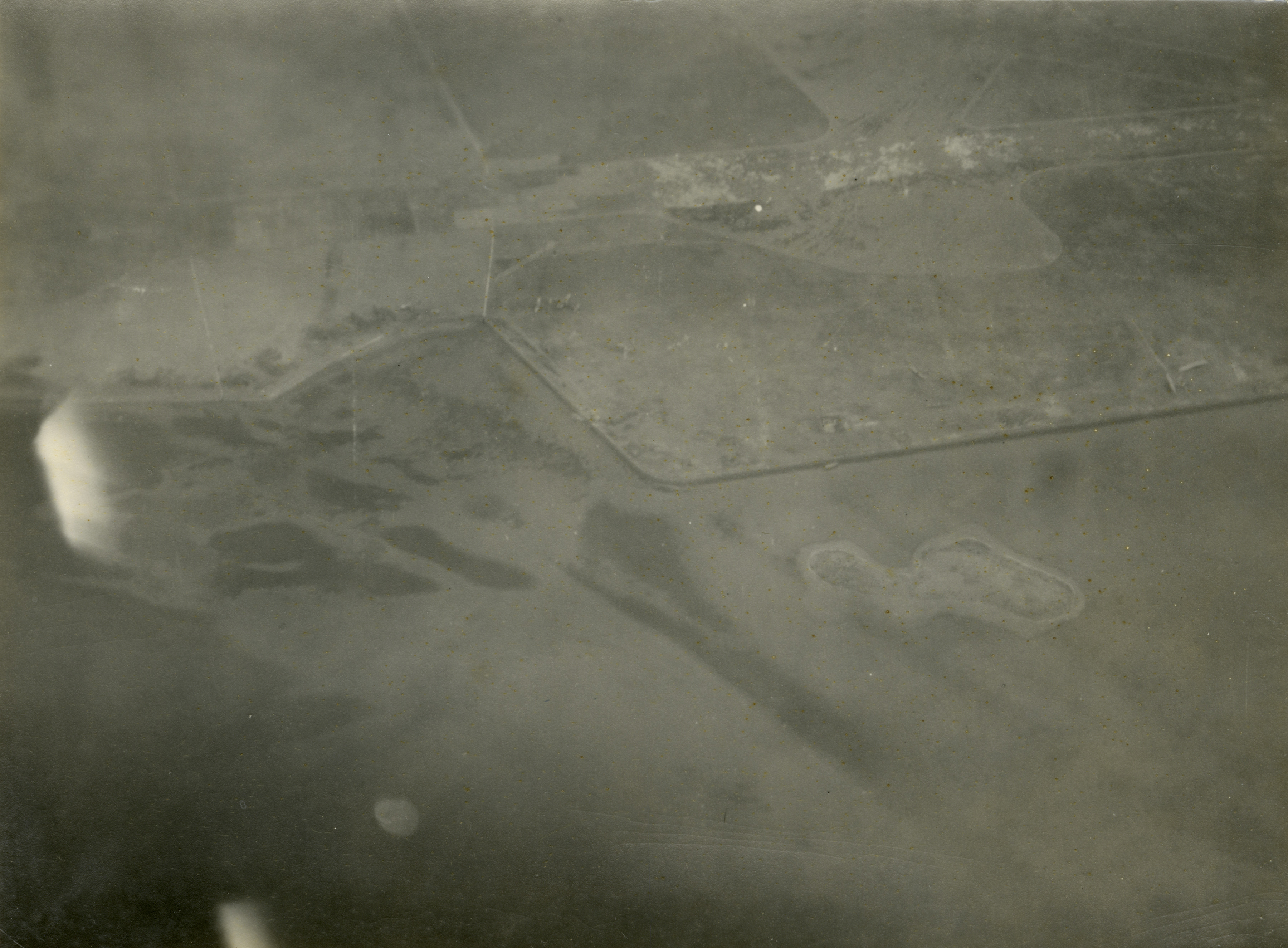
Aerial view of unidentififed Japanese coastline. Late 1945
-
Aerial view of Japanese town being bombed in late 1945
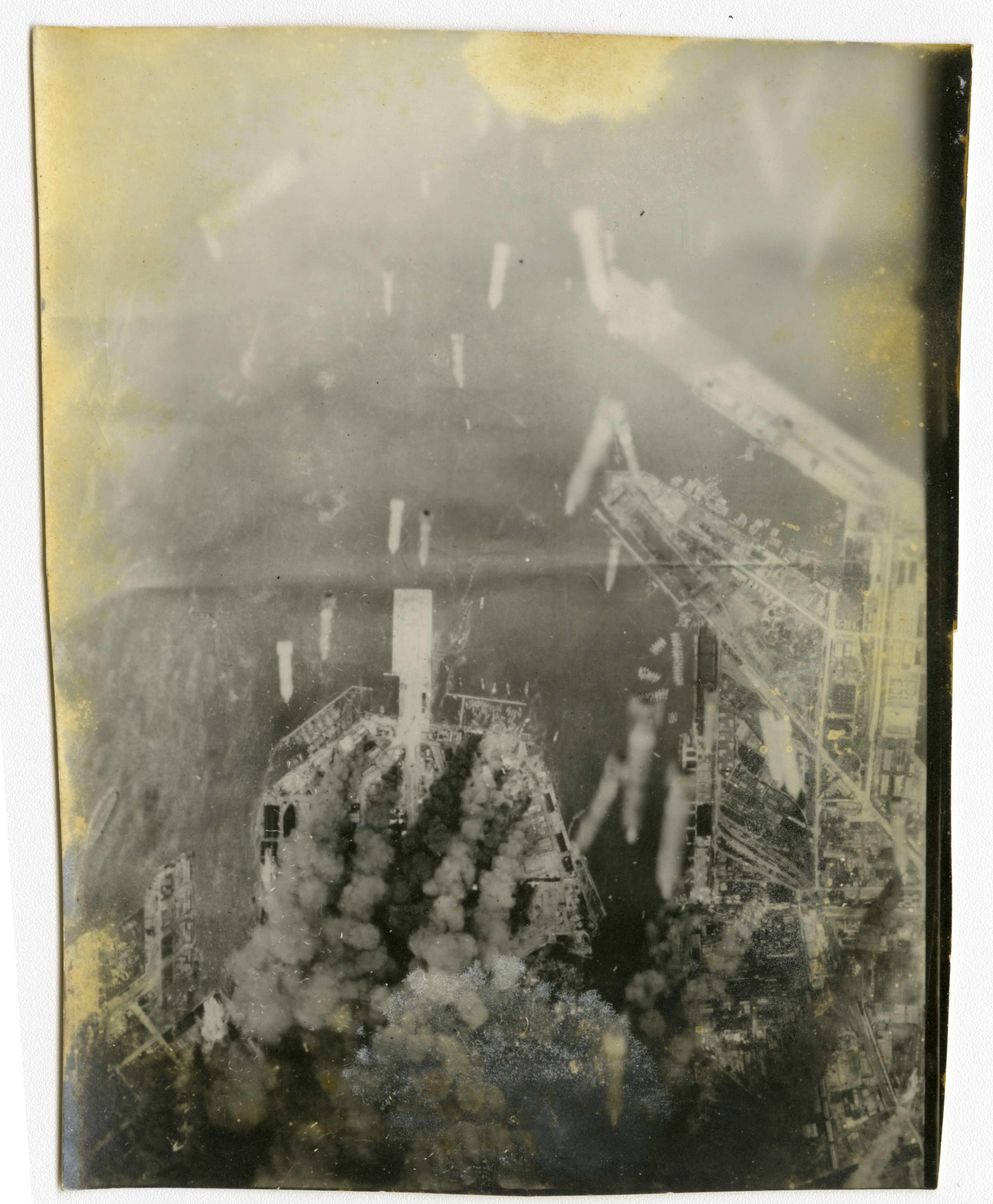
Aerial view of Japanese town being bombed; bombs can be seen falling from plane and exploding below. Late 1945
-
Aerial view of Kuraman Island and sea passage near Borneo, June 1945
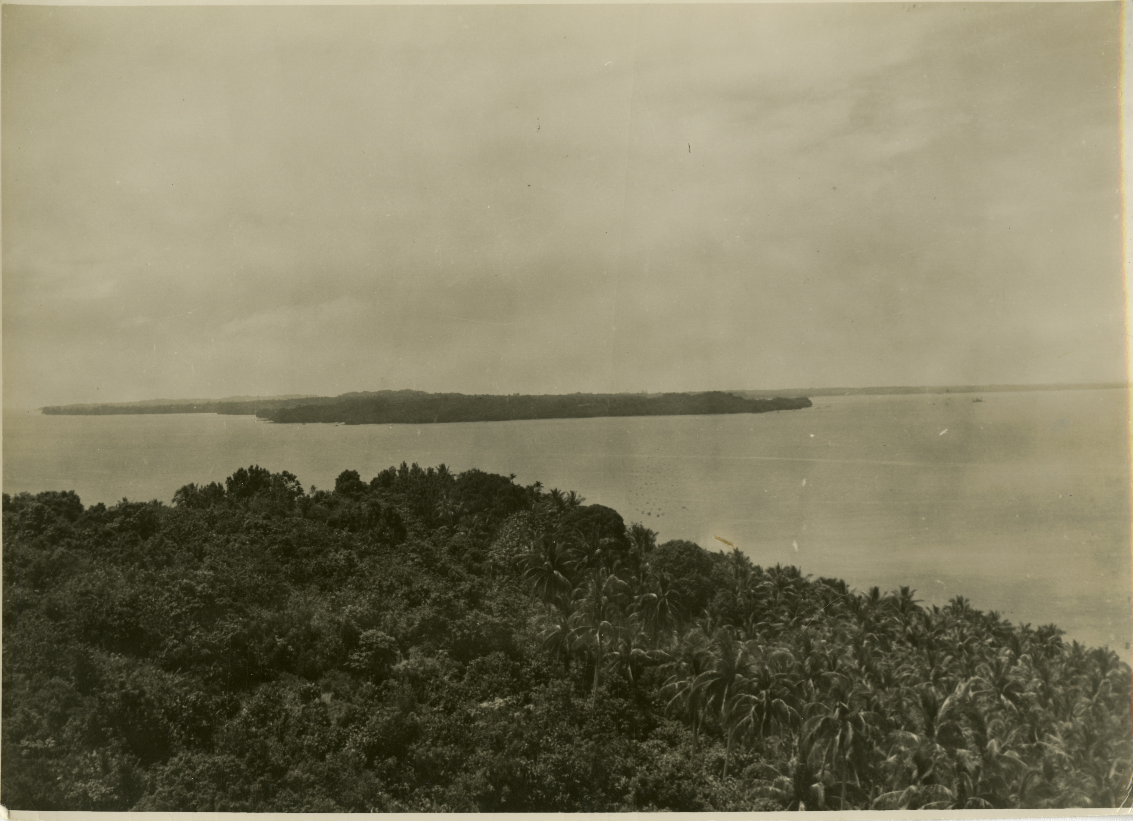
Photograph, aerial.View of a tropical island (Kuraman Island) and sea passage. Notice the coconut palm trees on the right.
-
Aerial view of landing craft invading Iwo Jima in February 1945
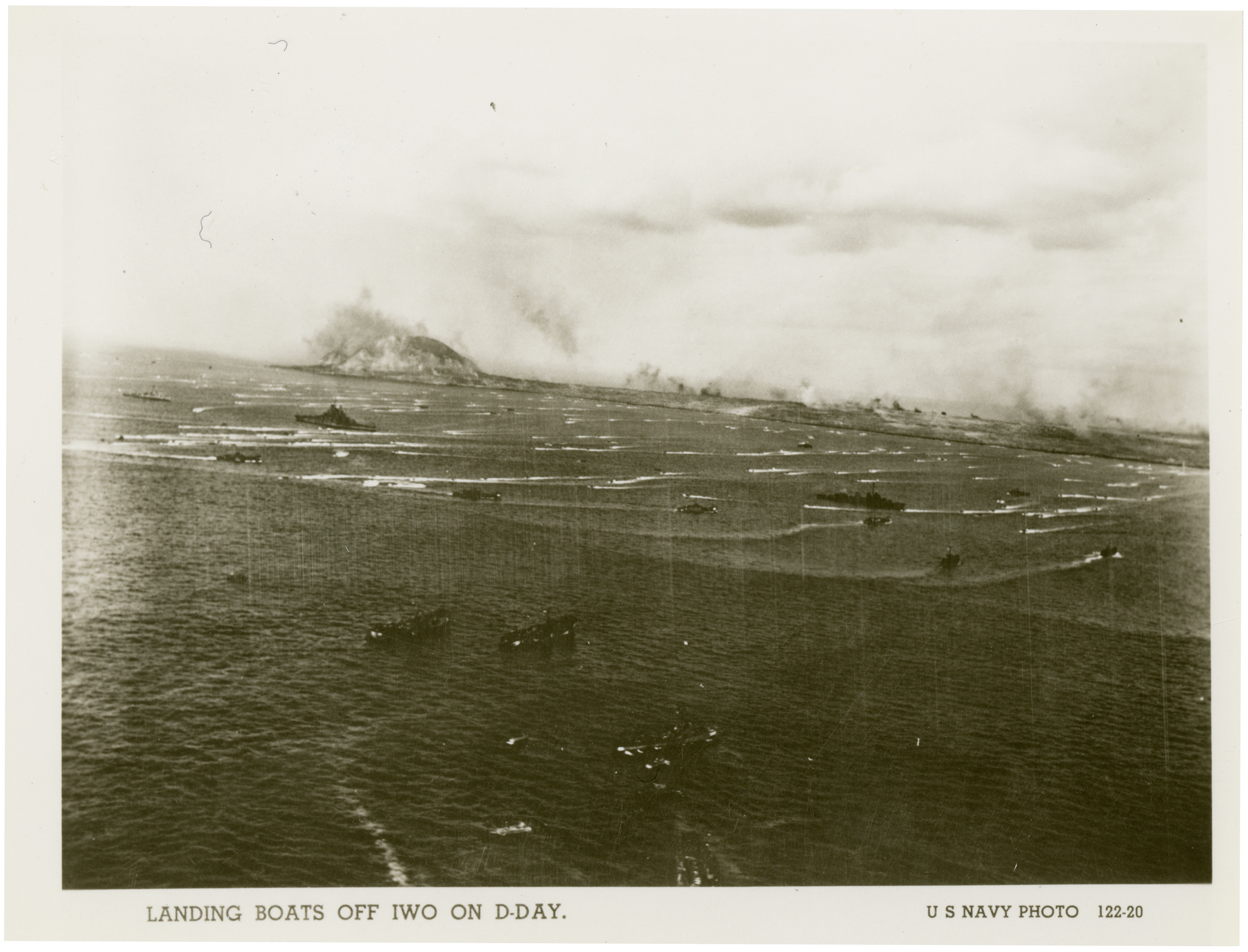
Aerial view of landing craft invading Iwo Jima. Official caption:'"Landing boats off Iwo on D-Day. US Navy Photo 122-20." Iwo Jima.
-
Aerial view of large medical compound in an unknown location in 194-
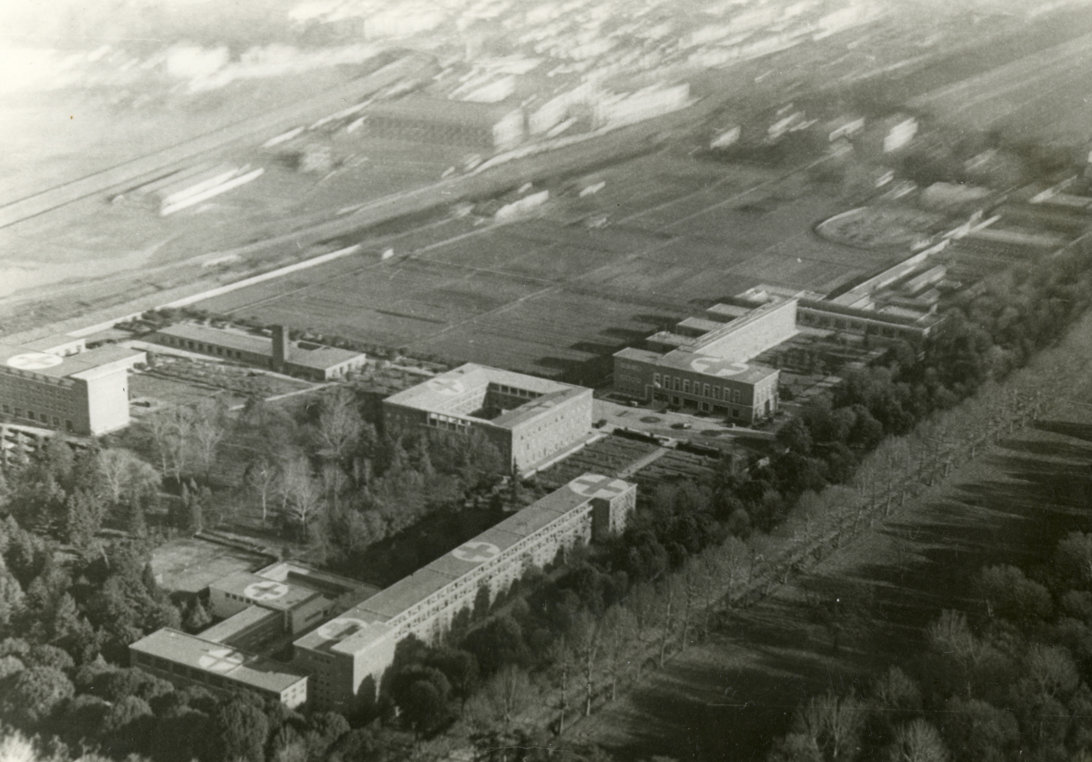
Aerial view of large medical compound. Crosses painted on top. Location unknown. 194-
-
Aerial view of local dwellings in the Pacific Theater, 1945-46
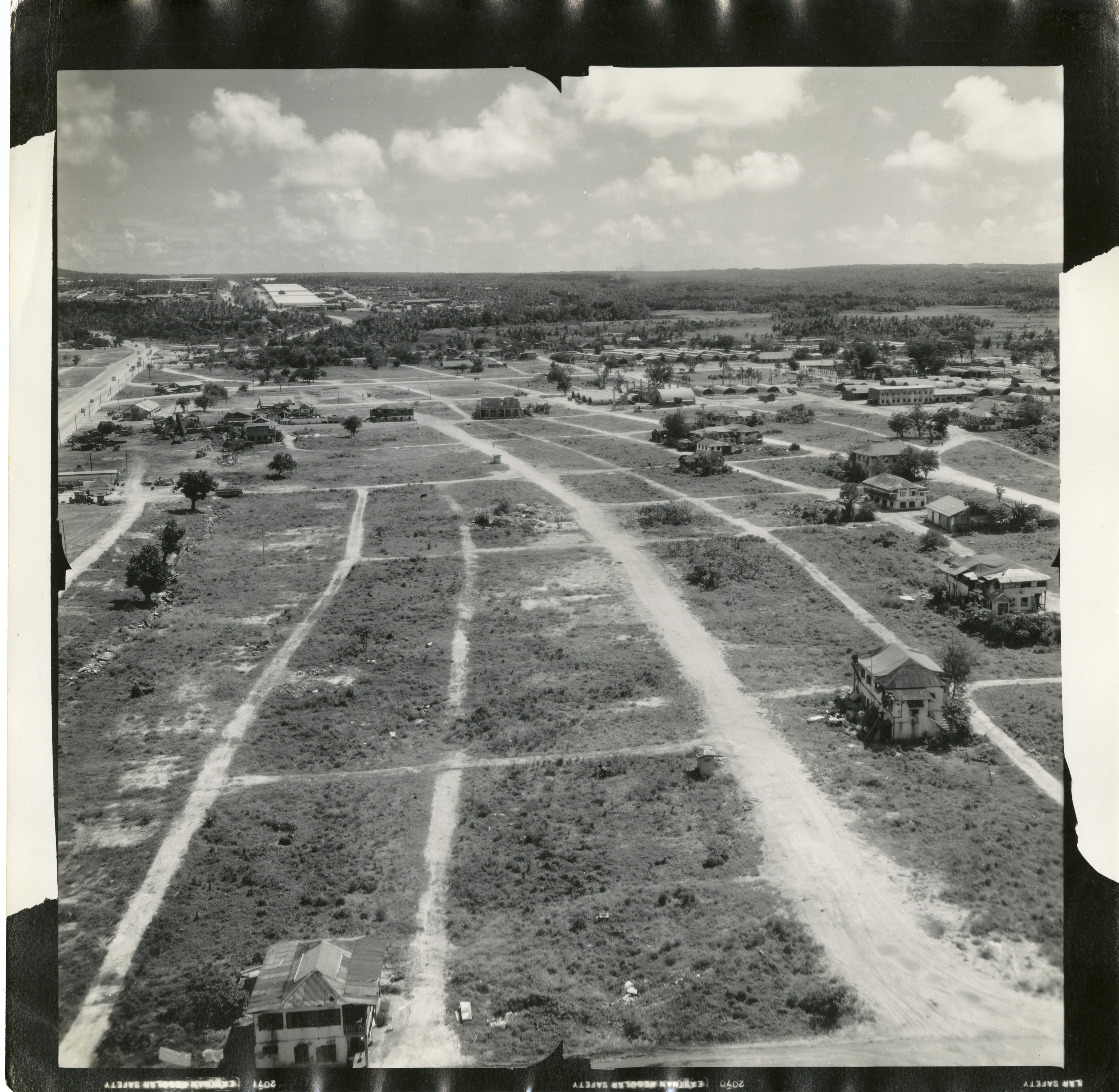
Aerial view of native houses and Allied military base buildings. Pacific Theater. 1945-46
-
Aerial view of local village on the coast of Guam, 1945-46

Aerial view of native village on a coastline at the foot of mountains, including thatched roof and corrugated metal houses and Christian cathedral.
-
Aerial view of local village on the coast of Guam, 1945-46
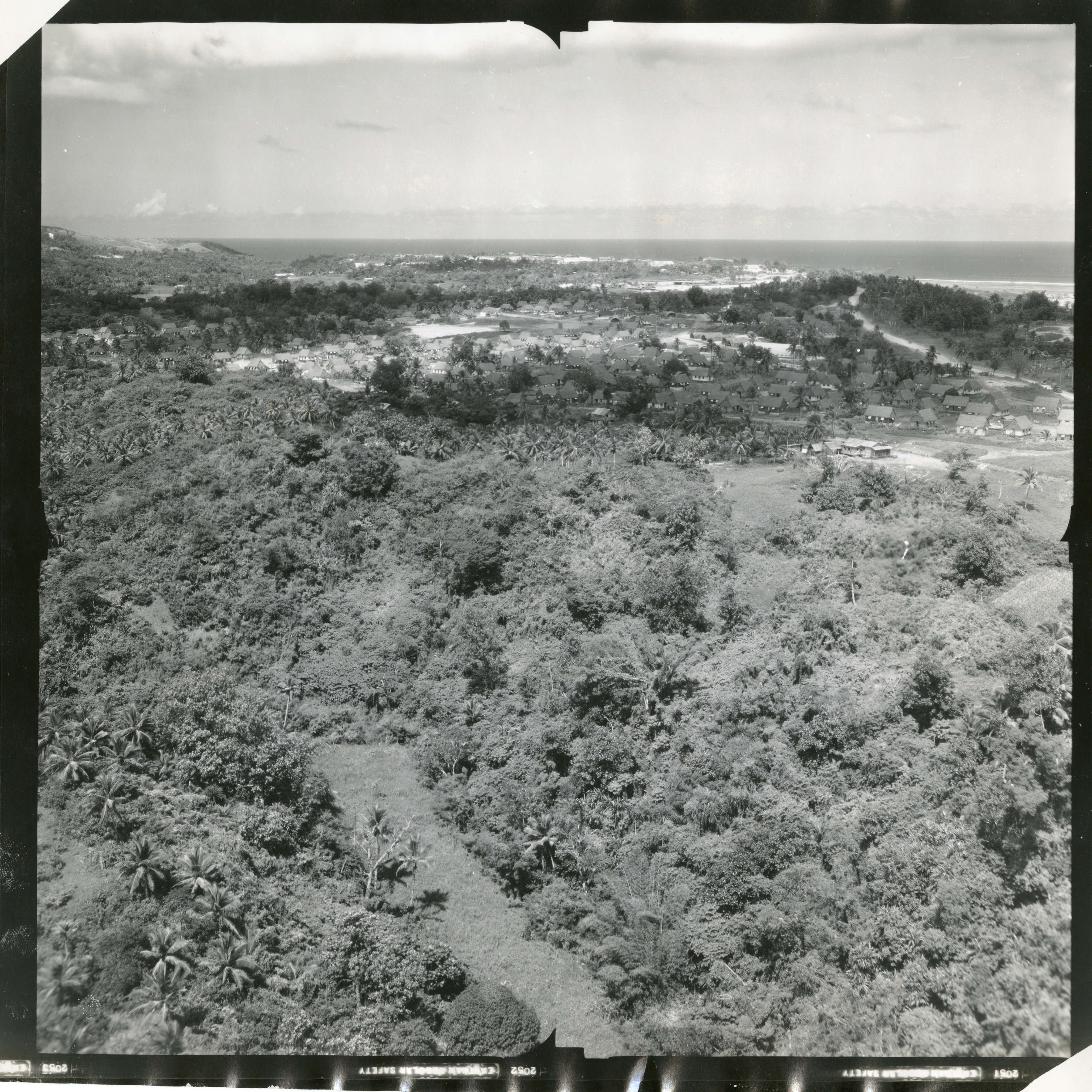
Aerial view of native village on unidentified Pacific island. Probably a native village on Guam rebuilt by U.S. Government.'Guam (probably).
-
Aerial view of LST-214 underway, Atlantic Ocean, 1943
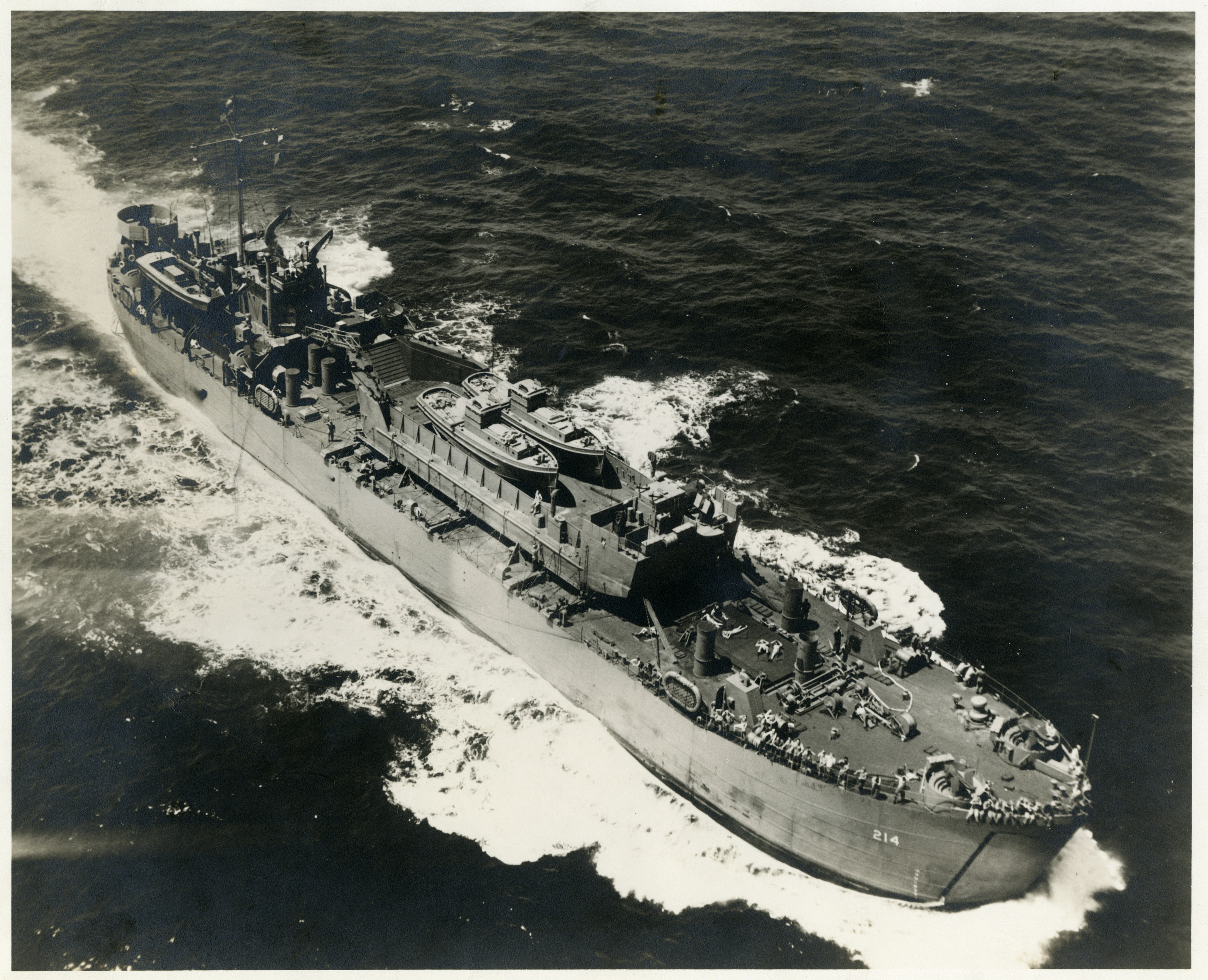
Photograph, aerial. USS LST-214 underway. Official stamp on reverse: "LST 214 / Picture taken at sea on Aug.
-
Aerial view of Manila Harbor, Philippines, 1945
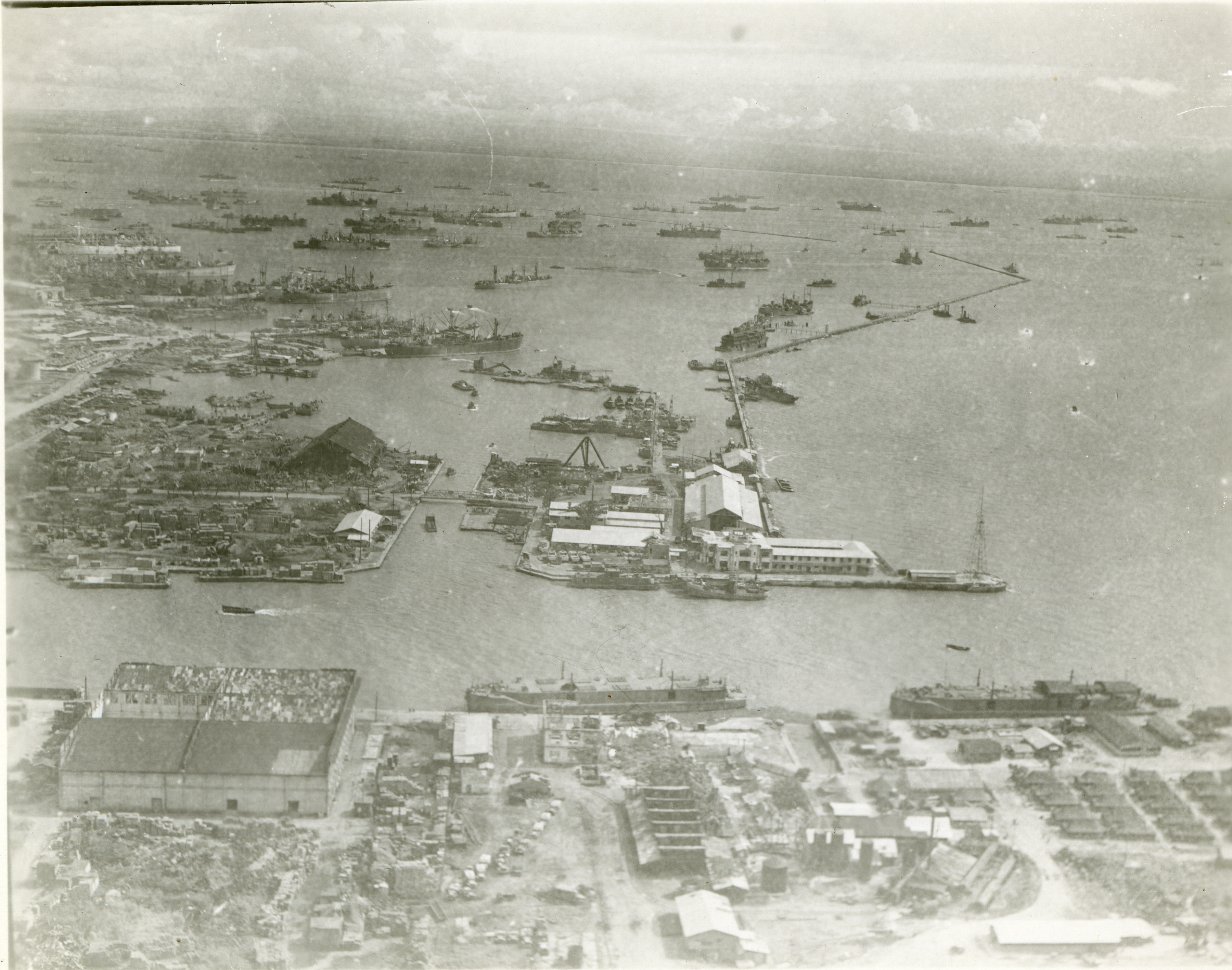
Photograph, aerial. American fleets anchored in Manila Harbor. Manila, Philippines. 1945

